14 October 2026
What is the thalweg, and why it matters for siting a litter boom
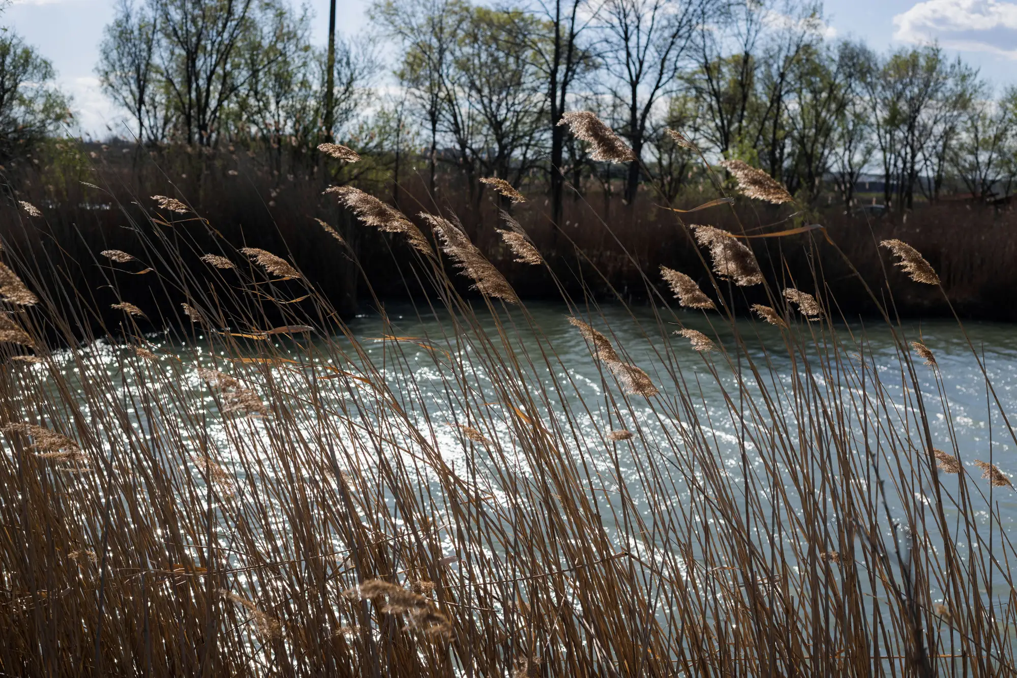
If you've spent any time with a hydrologist or a USGS gage report, you've probably run into the word thalweg and nodded along without quite pinning down what it means for your stretch of river. It's a simple idea with real consequences for where you anchor gear.
What the thalweg is
The thalweg is the line that connects the deepest points along a channel, cross-section by cross-section. It's not the geographic center of the river and it's not a fixed distance from either bank. On a straight reach it might run close to the middle. Through a bend, it swings toward the outside bank, where the current has scoured a deeper trough over years of flow. Through braided or heavily modified channels, it can wander or split, which is exactly why relying on a map from five years ago gets you the wrong spot today.
Engineers care about the thalweg because it marks where the water moves fastest and where the bulk of the discharge travels. For a cleanup crew, that matters for a different reason: it's usually the path floating debris rides down the river, and the place where eddies, backwaters, and slack-water pockets form right alongside it.
Why floating plastic follows the thalweg, mostly
Plastic bottles, bags, and foam don't travel like bedload. They sit on or near the surface and get pushed by the fastest-moving water, which tracks the thalweg more often than not. But debris doesn't stay glued to that line. It gets flung into eddies on the downstream side of points and bars, parked in backwaters behind wing dams, and stacked against anything that breaks the current, like a bridge pier, a logjam, or a gravel bar at the inside of a bend.
So the practical rule a lot of boom crews work from isn't "anchor on the thalweg." It's "anchor near where the thalweg meets something that slows the water down." That's where plastic drops out of the fast lane and starts to pile up. A straight run with no obstructions and a clean thalweg down the middle often has almost nothing collecting on the surface, because there's nowhere for debris to stop moving.
Where the thalweg stops being a useful shortcut
This is the part that trips up a lot of siting decisions: the thalweg shifts. A flood pulse can carve a new deep line through a bend in a single high-water event. Dredging, a new bridge pier, or a point bar that built out over a season can all move it. If your boom placement is based on a bathymetric survey or a thalweg line from a few years back, you may be anchoring gear to a channel that no longer exists in that configuration, and debris that used to pile up at your boom site is now riding past it on a shifted current.
That's also why a single site visit or one good field day isn't enough on its own. A crew that walks the bank and eyeballs today's trash line is reading last month's accumulation pattern. The channel and flow that put it there may already look different by the time the next crew shows up.
Using accumulation, not just channel geometry, to pick a site
Thalweg position tells you where the current concentrates, which is a real piece of the puzzle. What you need every month is a read on where debris is piling up right now, under this week's flow and whatever got dumped upstream last week. That's a different question than channel geometry alone, and it changes with season and rainfall.
This is the gap Plastic Accumulation was built for: a monthly read of where floating plastic is actually collecting along your river, flagged from satellite imagery, so you're siting the next boom or sending the next crew to a spot with real debris on it, not a spot that was good three years ago when someone last surveyed the thalweg.
If your boom keeps coming up light and you're ready to stop guessing from an old channel survey, get in touch about early access.