16 November 2026
Field notes: the tributary we almost wrote off, and the flood that proved it wrong
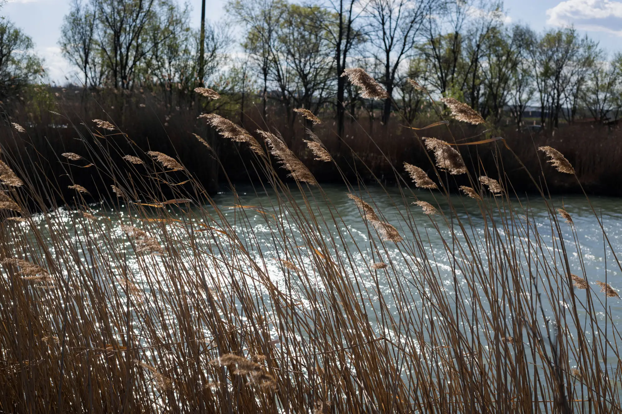
There's a tributary on most watershed maps that gets the same treatment every budget cycle: low flow, low population upstream, low litter counts the last three times anyone walked it. Easy to drop to the bottom of the list. We did that, two seasons running, on a stretch that fed into a reach we were trying to protect downstream.
Then a spring flood came through, the kind that moves more than water.
We'd been watching the main stem, because that's where the boom was, and that's where the debris had always shown up before. The tributary wasn't on anyone's radar that week. It took a volunteer group doing a totally unrelated shoreline walk to flag it: a logjam at a bend upstream of the confluence, stacked three deep with bottles, foam chunks, a tangle of ag film that had clearly been sitting somewhere drier before the water came up and found it.
None of that debris had traveled far. It had been staged somewhere in the floodplain for months, maybe longer, invisible to a litter count because nobody was walking that section on a day when it mattered. The flood just moved debris that had already been sitting there into a spot where somebody finally saw it.
That's the part that stuck with me. Our priority list was built from a snapshot, and the thing we were trying to track doesn't sit still long enough for a snapshot to stay true. A tributary can be clean on the day you walk it and loaded three weeks later because somewhere upstream a culvert cleared, a bank gave way, or a storm just rearranged what was already there. Walking crews are good at a lot of things. Catching a pattern that shifts month to month on a river you check twice a year isn't one of them.
I've talked to a few other coordinators since, and the story rhymes more than I expected. Everyone's got a reach that dropped off the rotation for good reasons at the time, and everyone's got at least one story about that reach coming back to bite them after high water. Most of us are siting booms and scheduling crews off whatever the last site visit told us, and that visit is always a little out of date by the time the next one happens.
What would have helped, looking back, was something checking that tributary whether or not it was anyone's turn to go look. A monthly pass that doesn't care which reach is popular this quarter, that just reports back on where floating debris is actually sitting right now, before a flood does the work of showing you the hard way.
That's the gap Plastic Accumulation is built for: a monthly read on where plastic is collecting along a river or coastline, pulled from satellite imagery rather than whoever had time to walk the bank that week, so the next boom or crew goes where the debris is gathering. It won't catch everything, and it's early. But it would have caught that logjam before the flood did.
If you've got a reach you've stopped checking because it never ranks high enough to make the rotation, it might be worth getting on the waitlist and finding out what's sitting there now.