2 November 2026
Field notes: the month the pass finally agreed with the guy who walks the bank
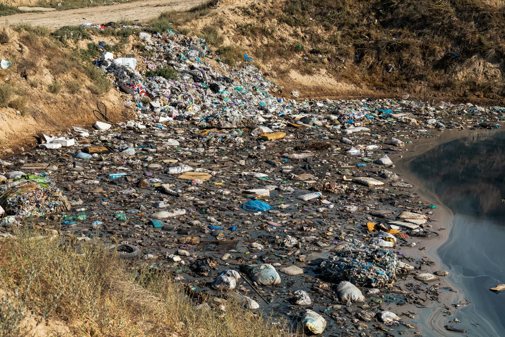
Marcus has walked the same two miles of bank below the confluence every Tuesday for six years. He knows which eddy fills up after a south wind, which snag pile grows fastest after a rain event upstream, and which stretch looks clean but isn't, because the current just tucks everything under the willows before you can see it from the trail.
For most of those six years, the monthly debris survey and Marcus's own notebook told two different stories. The survey would flag a stretch near the old rail bridge as the priority. Marcus would show up, find a handful of bottles, and keep walking another half mile to the bend where the real pile was sitting, half-submerged, waiting for somebody to notice.
This past month, for the first time, they agreed.
The pass came back showing a cluster right at the inside of the bend past the second gauge station, the same bend Marcus had been flagging in his field notebook for going on three years. Nothing dramatic happened to cause it. No big storm, no obvious dumping event upstream. The water just does what it does there, slows down on the inside curve, drops its load, and picks back up on the other side. It's the kind of pattern that's obvious once you've watched it enough times on foot but easy to miss if you're only looking at where crews happened to clean last season, or where the complaint calls come from.
The river didn't change. What changed was having a second read on that stretch, one built off the month's actual conditions instead of last quarter's cleanup log.
That's worth sitting with for a second, because most of the debris tracking in this line of work is really a history of where people already looked. A cleanup crew hits a spot, logs it, and the next planning cycle treats that spot as the known problem area. Meanwhile the water keeps doing its job of sorting trash into the bends and backwaters nobody's assigned to check. A monthly flag from overhead doesn't know your crew's route or your funding cycle. It just sees where the mass is sitting that month, multispectral imagery picking up the signature of floating plastic against open water, run against the next pass to catch where it's piling up instead of just passing through.
None of this replaces the eyes on the bank. The overhead pass gave a general location, a bend, not a bottle count, and it took Marcus's own visit to confirm it was a real accumulation and not driftwood doing a convincing impression of a mat of bottles from altitude. That's still the job: ground-truth the bend, figure out if a boom belongs there or if a crew with a few trash bags and a Saturday morning will clear it. What the pass did was tell him where to walk first, instead of walking the whole stretch hoping to get lucky, or worse, going back to the rail bridge out of habit because that's where last year's budget line said the problem was.
The honest version of this story is that it worked once, for one bend, in one month. It's not a track record yet. But it's the first time in six years that a desk tool and a pair of waders landed on the same spot without Marcus having to argue for it in a planning meeting first. Crews still routing boom placement off last season's cleanup map might want to check that against a monthly read of where debris is actually collecting, rather than where it collected last time someone looked.
If your crew's still working off the old hotspot list, it might be worth seeing what this month's pass turned up instead.