19 October 2026
Field notes: the bend that looked clean from the bridge and wasn't
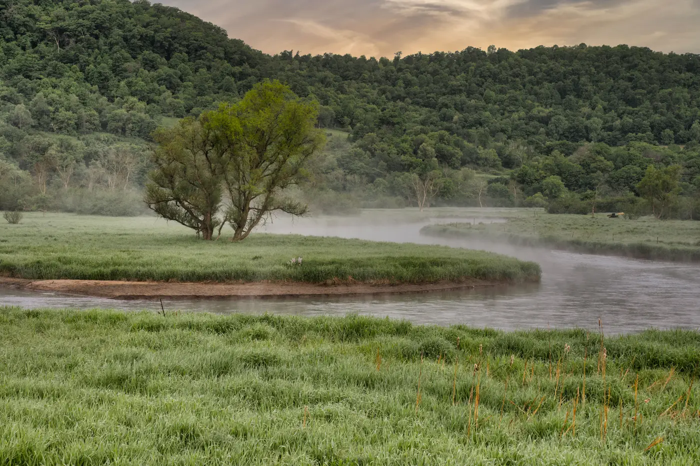
You can stand on the Route 9 overpass and look down at that bend for a full minute and see nothing. Brown water, a gravel bar, a willow snag leaning out from the far bank. No bottles bobbing, no obvious slick. If you were scoring sites for the next boom placement off a drive-by, this one wouldn't make the list.
It made the list anyway, because the satellite flag kept lighting up there three months running. So on a Tuesday in September I parked at the pull-off, walked the access trail down through the blackberry, and found out why the bridge view lies.
The bend has a back-eddy behind that willow snag, a slow rotating pocket maybe forty feet across where the main current peels off and spins. From the road, forty feet below and seventy yards upstream, it reads as flat water. Up close it's a parking lot. A driftline had built up along the inside edge of the eddy, the kind of organic-and-plastic tideline you get where foam, leaf litter, and anything with buoyancy gets shoved together and held there by the rotation. Underneath the surface skin, wedged against a half-submerged shopping cart that's clearly been there since before I had this job, was a proper windrow: bottles, a tangle of mono line, a deflated mylar balloon gone the color of the water, and enough polystyrene chunks that I stopped counting and started bagging.
None of that reads from a bridge, and honestly most of it doesn't read from a boat either unless you're hugging that bank at idle speed, which nobody does on a Tuesday afternoon when there are six other reaches to check. That's the thing about eddies and back-currents. They're where plastic actually wants to be, because the physics that make a good fishing hole, slack water, a circulation cell, something for debris to recirculate against, are the same physics that build a windrow. The bends that look cleanest from above are often doing the most collecting underneath.
I've gotten more careful about ground-truthing a flag before I write it off, and more careful about ground-truthing one before I commit a crew to it too. Both directions cost you if you get them wrong. A crew sent to a spot that's been scoured clean since the last flag is a wasted morning. A spot written off because it looked fine from the only vantage you had is debris that sits there another month, breaking down, getting harder to pull, working its way further into that cart frame.
What's changed for me isn't the fieldwork, you still have to put boots on the gravel bar and eyes on the water. What's changed is which bends I bother walking out to in the first place. We started cross-checking our usual visual scan, bridges, boat ramps, the two overlooks everybody uses, against a monthly read of where the imagery shows accumulation building along the reach. It doesn't replace the walk. It tells you which of your forty bends are worth the walk this month, instead of rotating through the same six out of habit because they're the six you can see from a road.
The bend by the willow snag earned its spot on the list because it kept showing up in the monthly read, three times in a row. We'll clear it again before winter flows come up and scatter that windrow further downstream into somebody else's reach. If you're trying to build that same kind of monthly list for your own stretch of river, that's the whole pitch over at Plastic Accumulation's site, worth a look if your crew is still deciding where to walk based on memory.
Go stand on a bridge you trust. Then go find the eddy you can't see from it.